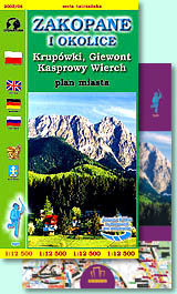
Zakopane and surroundings (Zakopane i okolice)
Krupówki, Giewont, Kasprowy Wierch

scale
legend
size
1st edition
author
publishers
ISBN
1:12 500
4 languages
82 x 56 cm
1999
Michael Siwicki
978-83-87873-04-2 978-83-7499-013-4
distribution
City-map of Zakopane in 1:12 500 scale is one of the most detailed presentation of this town. There are all small streets, paths and buildings here. Set of signs contains all elements needed for tourist visiting the town.
Main map, besides Zakopane, covers a part of Kościelisko too, Ząb and Murzasichle. The most important street, famous Krupówki, has detailed map in 1:7 500 scale.
The explanation contains about 80 signs, described in 4 languages (PL, GB, D, RUS). There are mountain bike routes here, ski-lifts and touristic routes. You can find regional restaurants and galleries. There are all hotels on this map, youth hostels, holiday houses, also sanatories and camping sites. Houses have perfect numeration, helping proper finding private accommodation.
On back side you can find detailed map of Zakopane surroundings in 1:25 000 scale with Giewont and Kasprowy Wierch. In touristic directory there are all necessary informations. Schema of touristic routes will be helpfull for people going to Tatras. There is small map of coverage of mobile phones too.


